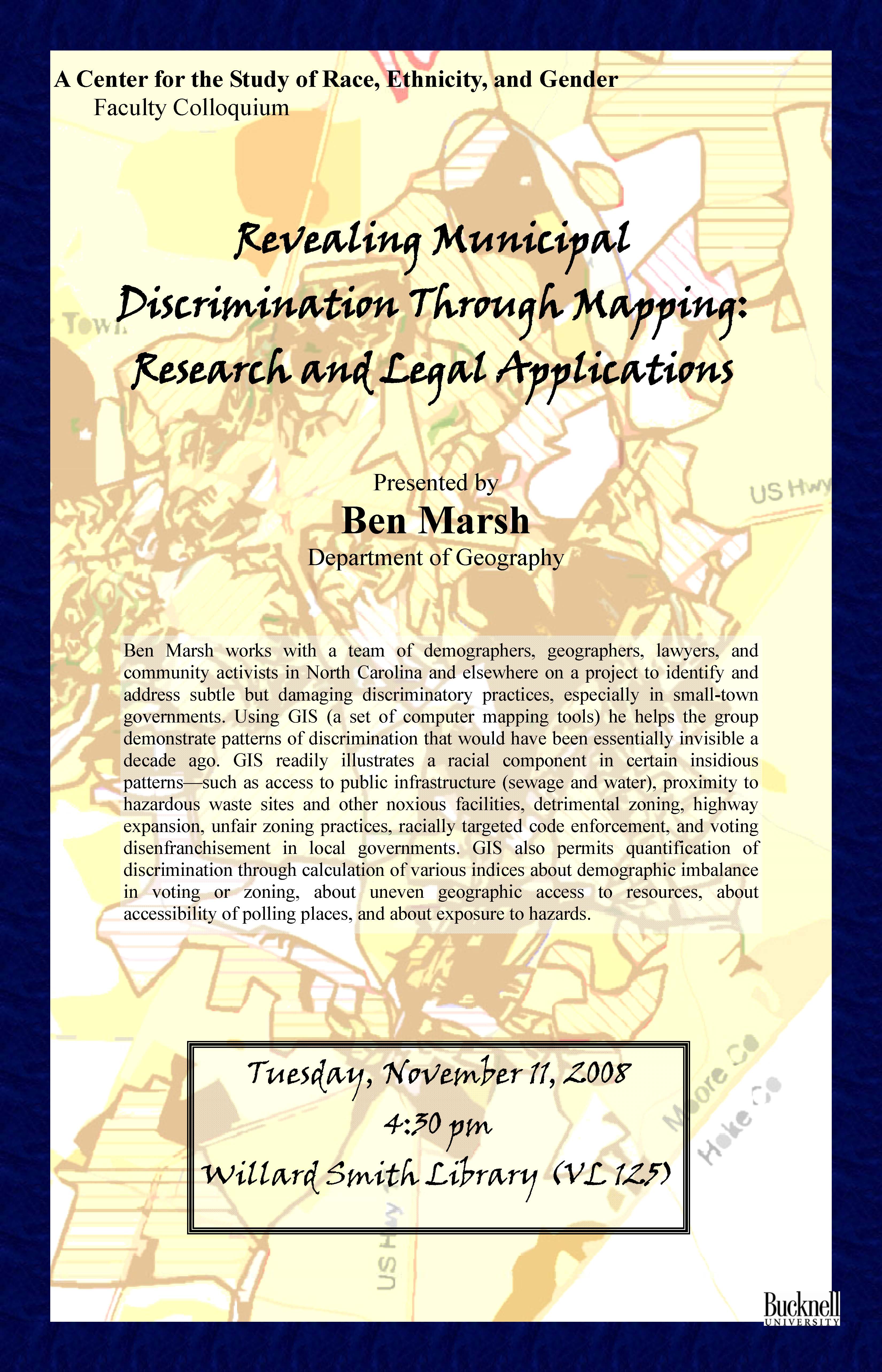
Ben Marsh works with a team of demographers, geographers, lawyers, and community activists in North Carolina and elsewhere on a project to identify and address subtle but damaging discriminatory practices, especially in small-town governments. Using GIS (a set of computer mapping tools) he helps the group demonstrate patterns of discrimination that would have been essentially invisible a decade ago. GIS readily illustrates a racial component in certain insidious patterns—such as access to public infrastructure (sewage and water), proximity to hazardous waste sites and other noxious facilities, detrimental zoning, highway expansion, unfair zoning practices, racially targeted code enforcement, and voting disenfranchisement in local governments. GIS also permits quantification of discrimination through calculation of various indices about demographic imbalance in voting or zoning, about uneven geographic access to resources, about accessibility of polling places, and about exposure to hazards.